
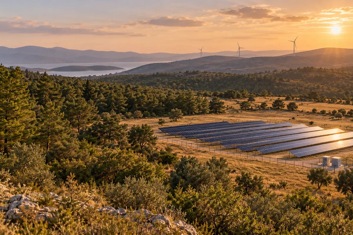
Guided by your site.
Power plants, connection lines and ancillary areas have different technical requirements. We review the plant type, existing permissions and proposed changes to define the required forest permit documentation.
Who is it for?
Energy investors, plant operators and engineering teams working on energy projects.
Services in this area
Select a service to read its description.
Drilling and access road permit dossier for energy projects
Drilling locations and access road routes associated with an energy project are examined using terrain conditions and available forest area data. For applications that need to clearly show the areas requested for drilling and site access, maps, layouts and technical explanations are organised into a permit dossier covering both uses.
Discuss this service →Surplus excavation material disposal area project for hydropower plants (HES)
Project data on the quantity and characteristics of surplus material from hydropower works are assessed alongside the proposed disposal area's slope, access and environmental features. A site layout is prepared to plan where and how the material will be placed. The project explains the disposal arrangement and technical measures considered for surface water, slopes and the area's final use.
Discuss this service →Revision dossier for hydro, solar, wind, biomass, geothermal, nuclear and thermal power plants (HES, GES, RES, BES, JES, NES and TES)
The energy facility's previous dossier is compared with changes to its layout, site boundaries, routes or project components. Where the application information needs to accurately reflect the new project configuration, the changes are incorporated into maps and technical explanations. The revision dossier brings together current project data by comparing the changed elements and their relationship to forest land use.
Discuss this service →Hydroelectric power plant (HES)
The parts of a hydroelectric power plant project relating to forest areas are assessed using the site layout and available project data. Requested areas and project components are considered together to identify the investment's forestry work requirements. The scope of the technical work and dossier is determined according to the project stage and required service, and site information is organised accordingly.
Discuss this service →Biomass power plant permit dossier
The biomass power plant's layout, facility components and requested work areas are examined in relation to forest land. Existing maps and technical project data are organised to define the plant project's land use in the permit application. The dossier clearly presents the facility location, use boundaries and site information considered from a forestry perspective.
Discuss this service →Nuclear power plant permit application documentation
The nuclear power plant project's layout in relation to forest land, land requirements and sections covered by the permit application are examined technically. Project information and spatial data are combined to clarify the boundaries of the requested use. The deliverable is a permit application file containing maps, drawings and technical information that explain the area and facility layout to be assessed from a forestry perspective.
Discuss this service →Solar power plant permit documentation for permitted areas, facility roofs and water surfaces
A proposed solar power installation on an already permitted area, facility roof or water surface is examined together with the existing use and site boundaries. Technical drawings and explanations clarify its footprint and relationship to the existing facility. The permit application file spatially defines the new use request, providing a basis for assessing the solar installation within the existing permitted area.
Discuss this service →Geothermal power plant permit application documentation
The geothermal power plant's proposed layout, facility components and land requirements covered by the permit request are assessed using project data. Maps and technical explanations organise the location of the plant and associated uses and their relationship to forest land. The deliverable is a forestry permit application file that clearly presents the requested use boundaries and project layout on the site.
Discuss this service →Final Permit Documentation for Wind Power Plants under a Preliminary Licence or Licence
Land use for turbine sites, connections and ancillary facilities is defined for a wind power project covered by a preliminary licence or licence. Existing project data are compared with site locations and boundaries to prepare technical documentation for the final permit application. The deliverable presents the requested land-use areas and facility components through consistent maps and explanations.
Discuss this service →Preliminary Permit Documentation for Wind Power Plants
Proposed turbine zones, ancillary areas and connection requirements are considered alongside site conditions at the initial assessment stage of a wind power investment. The location and intended use of the area covered by the preliminary permit request are set out in maps and technical explanations. The documentation establishes the site's scope and current land requirements as a basis for the facility layout to be developed in greater detail.
Discuss this service →Wind Measurement Mast Permit Documentation
The proposed mast location, access to it and the surrounding area needed for work are assessed. The land required for wind measurement is described in the permit documentation through location information and technical explanations. Separately from the overall power plant layout, this work defines the measurement facility's footprint and prepares documentation for assessment of land use intended for collecting wind data.
Discuss this service →Final Permit Documentation for Thermal Power Plants (TES)
Facility layouts and the boundaries of the requested land-use areas are examined at the final permit stage of a thermal power project. Project data are compared with site information, and technical explanations for the plant and its associated ancillary uses are organised in the documentation. The content maps the detailed facility use and helps define the areas covered by the application consistently.
Discuss this service →Preliminary Permit Documentation for Thermal Power Plants (TES)
The proposed site, initial facility layout information and land-use requirements are assessed at the preliminary permit stage of a thermal power investment. The location and intended use of the requested area are set out through maps and technical explanations. The preliminary permit documentation establishes the initial area coverage of the plant project, which will later be developed in greater detail, and provides a technical basis for site assessment.
Discuss this service →For our initial discussion
- Plant type and project location
- Available licence or preliminary licence information
- Maps and coordinates for facilities, lines and ancillary areas
- Existing permits and proposed project changes
The final scope and document requirements are defined alongside site conditions and current authority requirements.